GeoPackage Data Stores
Adding a GeoPackage Vector Data Store
When the extension has been installed, GeoPackage will be an option in the Vector Data Sources list when creating a new data store.
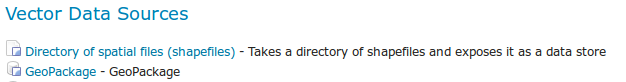
GeoPackage in the list of vector data stores
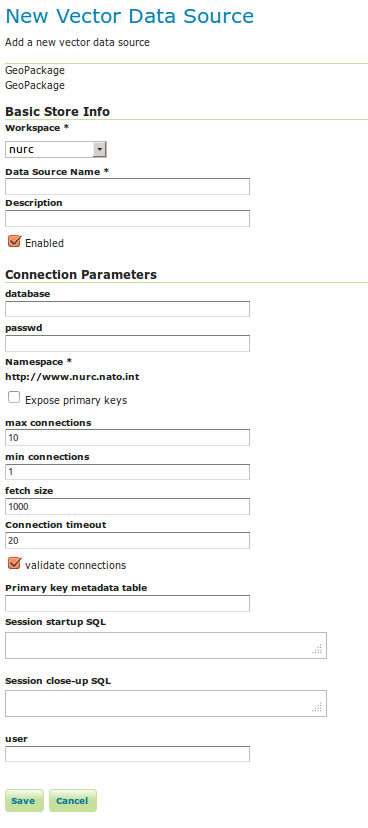
Configuring a GeoPackage Vector data store
| Option | Description |
| database | URI specifying geopackage file. |
| :guilabel:user | User to access database. |
| passwd | Password to access database. |
| namespace | Namespace to be associated with the database. This field is altered by changing the workspace name. |
| max connections | Maximum amount of open connections to the database. |
| min connections | Minimum number of pooled connections. |
| fetch size | Number of records read with each interaction with the database. |
| Connection timeout | Time (in seconds) the connection pool will wait before timing out. |
| validate connections | Checks the connection is alive before using it. |
When finished, click Save.
Adding a GeoPackage Raster (Mosaic) Data Store
When the extension has been installed, GeoPackage (mosaic) will be an option in the Raster Data Sources list when creating a new data store.
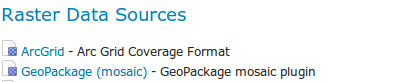
GeoPackage (mosaic) in the list of raster data stores
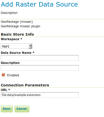
Configuring a GeoPackage (mosaic) data store
| Option | Description |
Workspace |
Name of the workspace to contain the GeoPackage Mosaic store. This will also be the prefix of the raster layers created from the store. |
Data Source Name |
Name of the GeoPackage Mosaic Store as it will be known to GeoServer. This can be different from the filename. ) |
Description |
A full free-form description of the GeoPackage Mosaic Store. |
Enabled |
If checked, it enables the store. If unchecked (disabled), no data in the GeoPackage Mosaic Store will be served from GeoServer. |
URL |
Location of the GeoPackage file. This can be an absolute path (such as file:C:\Data\landbase.gpkg) or a path relative to GeoServer’s data directory (such as file:data/landbase.gpkg). |
When finished, click Save.